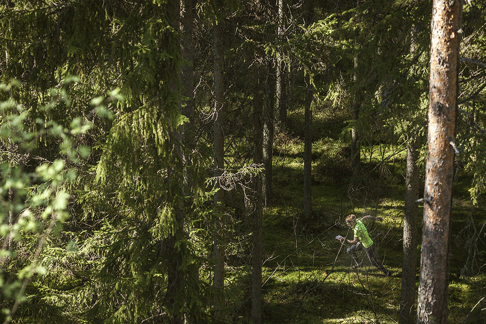
The 70th edition of Jukola Relay and the 41st Venla Relay will take the orienteers to Lahti and Hollola in Päijät-Häme Region about an hour north of Helsinki, Finland. The competition area is quite peculiar, as it is dominated by depression terrain formed by the Ice-Age. These depressions make navigating hard; the hollows are not as easy to see in the terrain as hills and rises would be. One also has to read the map carefully; are the contour lines up or down?
“Most of the features we use for navigation are below the main running level, not above as we're used to,” says Mårten Boström.

The depressions vary in size, some are small, some go down as much as 40 meters. Most of the terrain is pine forest with good runnability. There are also a lot of existing trails.
To get an idea of how the maps will look, check this out
“You should not plan on running through all depressions. If there's yellow on the bottom it might be a good idea to run along a depression's bottom, but otherwise, I'd suggest using the ridges between the depressions. Most animal trails and runner's tracks will also be going along the ridges, where you'll be avoiding the excess climb.”

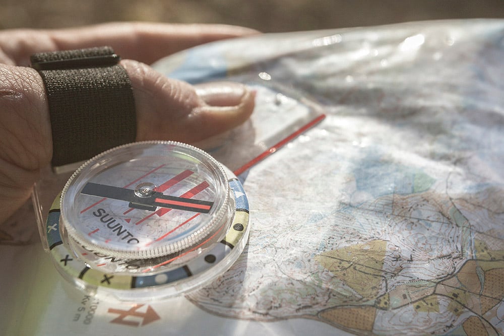
Smart use of compass use is crucial in this year's Jukola.
“Most features you'll use for navigation are contours with soft edges, so it's hard to get your 100% specified location. When going through depressions (be sure you will no matter how well route choices you make) you need to be careful to exit in the correct angle,” says Mårten.
Main image by Kimmo Hirvonen / Lahti-Hollola Jukola, other images by Petri Kovalainen / Suunto